TOPOGRAPHY
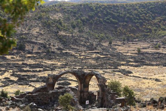
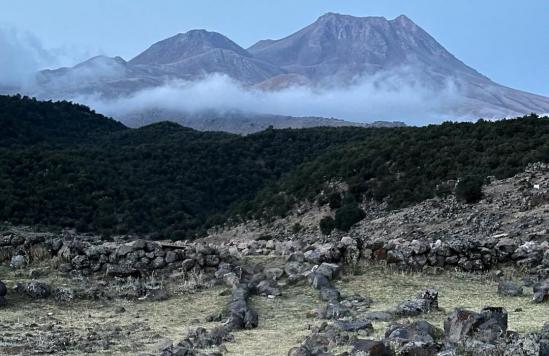
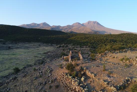
The city is settled in an upland valley formed by the natural erosion of a lava flow area from Hasan Dağı. The valley is aligned in north-south direction, about 1000 m long and 200 m wide; at the northern end, another rather shorter valley of about 300 m long branch off to the west, defined to the north by a rise. To the east and west, steep hills of about 1500 m. surround a natural depression in the center (where are you are standing now) whose bottom is at an elevation of nearly 1450 m. To the south, immediately behind the valley center, are the sharp slopes of a hill, covered with dense mountain forest, at an elevation of approximately 1650 m. The ancient city was accessible through three steep-sided narrow gorges to the west, east and north, the latter being the present-day entrance (Demirkapı/Iron Gate). The slopes of the main valley are less steep to the west and are intersected by four small side valleys on an east-west axis. The ruins spread over an area slightly larger than 200 hectares but become denser on the slopes facing the central depression valley and in the valley floor, apart from that of the east hill and the south side of the west hill which are uninhabited: they were too steep to be terraced and at risk from rock falls. With its position within a natural bowl, Mokisos was almost indistinguishable in the highlands from a distance except the acropolis and its fortress to the north-west and the lack of inter-visibility from sites nearby is really remarkable.


